
Here you will find all the winter maps for the Jungfrau Region. Find maps for skiing, sledging, cross-country skiing, trail running or hiking in winter here. Or perhaps you need to know which routes and slopes are open and which mountain railways and ski lifts are operating? This page will give you all this information too.


STATUS OF FACILITIES
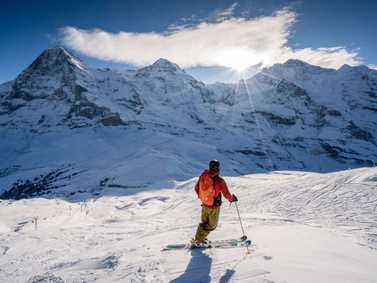
Which slopes and lifts are open?
The Jungfrau Ski Region and the Meiringen-Hasliberg skiing area have hundreds of kilometres of slopes for you to discover. However, not all lifts and slopes are open all the time. It depends on the snow conditions. Our slope maps will keep you up to date at all times. You can also explore our skiing areas in 3D.
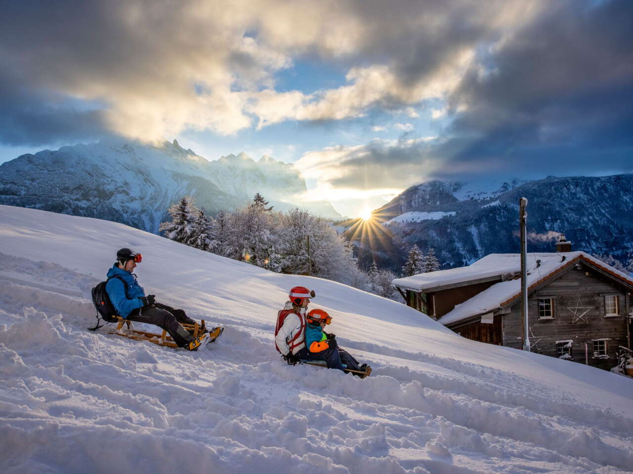
Sledging
From the Apollo Run to Big Pintenfritz
The Jungfrau Region has over 20 sledging runs for you to try. One of these is the world’s longest sledging run. Others include classics such as the Bussalp run, the Grosse Scheidegg run, the Apollo Run and the Fox Run. Some of the sledging runs are even open for night sledging.
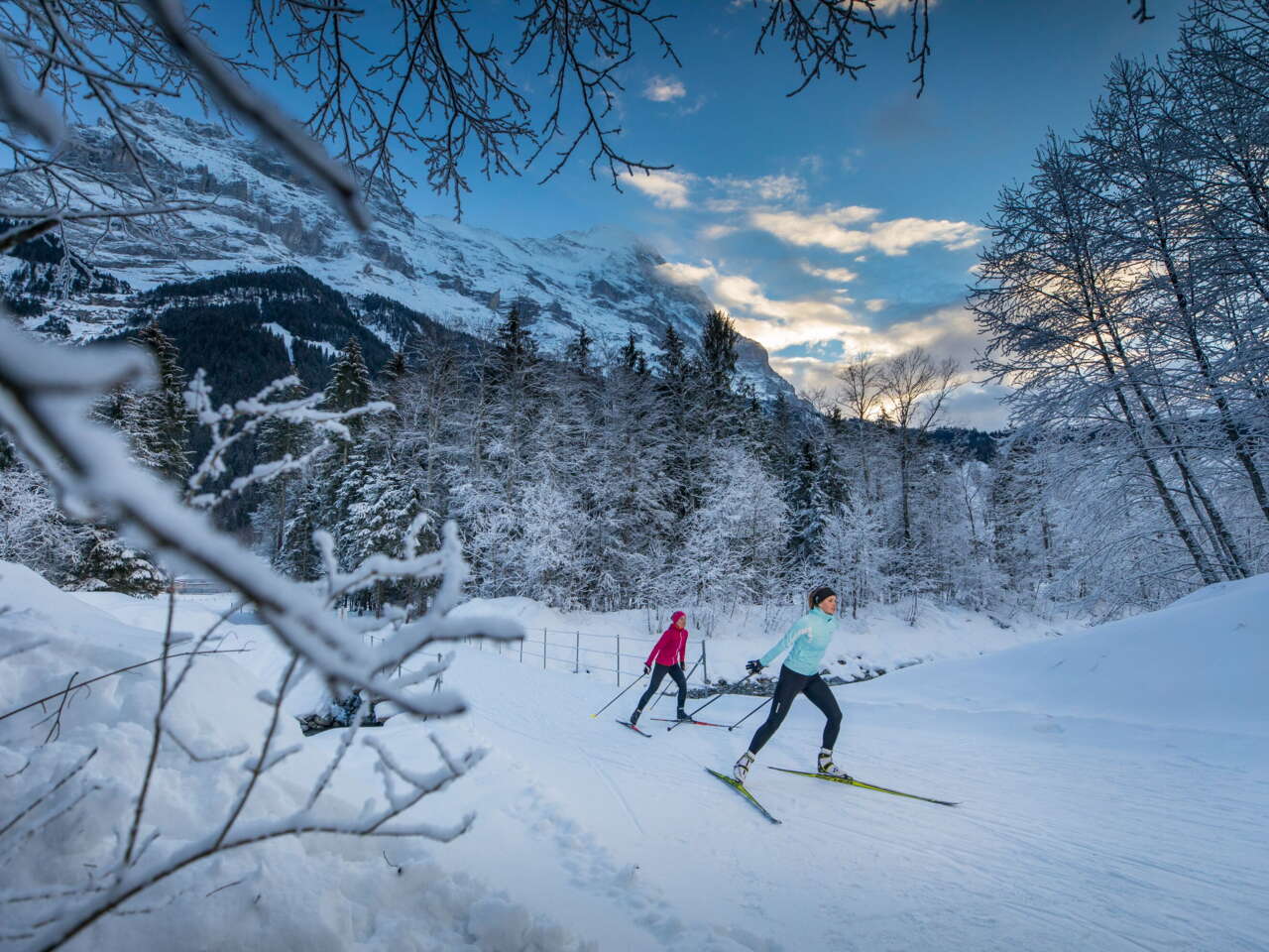
Cross-Country Skiing
Perfectly groomed cross-country ski trails
Trails in the Lauterbrunnen Valley that take you past icy waterfalls. Trails in Grindelwald. Trails on the Hasliberg. Trails in Gadmen, where you can ski under the stars. The Jungfrau Region has so many cross-country ski trails for you to discover.
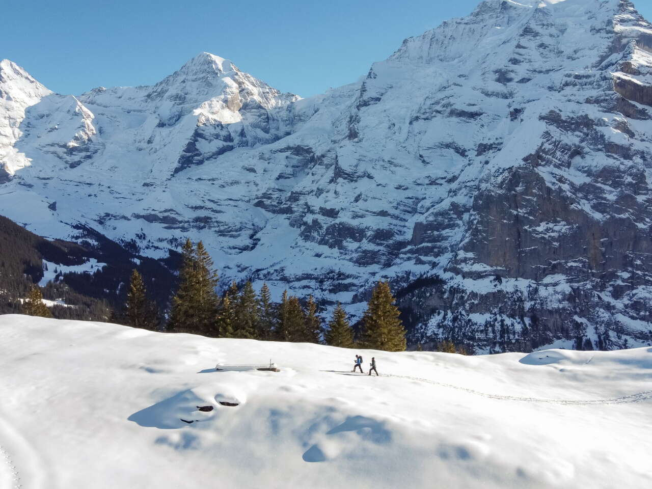
SNOWSHOEING AND WINTER HIKING
Walking in a winter wonderland
The Jungfrau region is a magical place to hike. Trek through the snow with the Eiger, Mönch and Jungfrau triumvirate in view. Whether you choose to use snowshoes or just your hiking boots, you’ll be spoilt for choice with routes in the Jungfrau Region. Each one is more beautiful than the last.