

Maps of mountain biking trails, trail runs and hiking trails, ski slopes and sledging runs, local maps and more – whatever map or route in the Jungfrau Region you’re looking for, you’re sure to find it on this page.


Summer maps
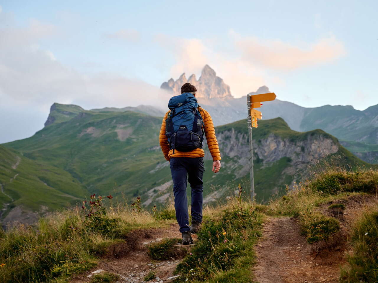
Bike routes, trail runs and hiking trails
This is where you’ll find all the summer maps of the Jungfrau Region, from the Eiger Loop to the Grütsch Trail, from the Horizon Trail to the Panorama Trail, from the Eiger Ultra Trail to the Gemsen trophy course. Whether you’re on a mountain bike or a road bike, running or hiking, it’s all right here.
Winter maps
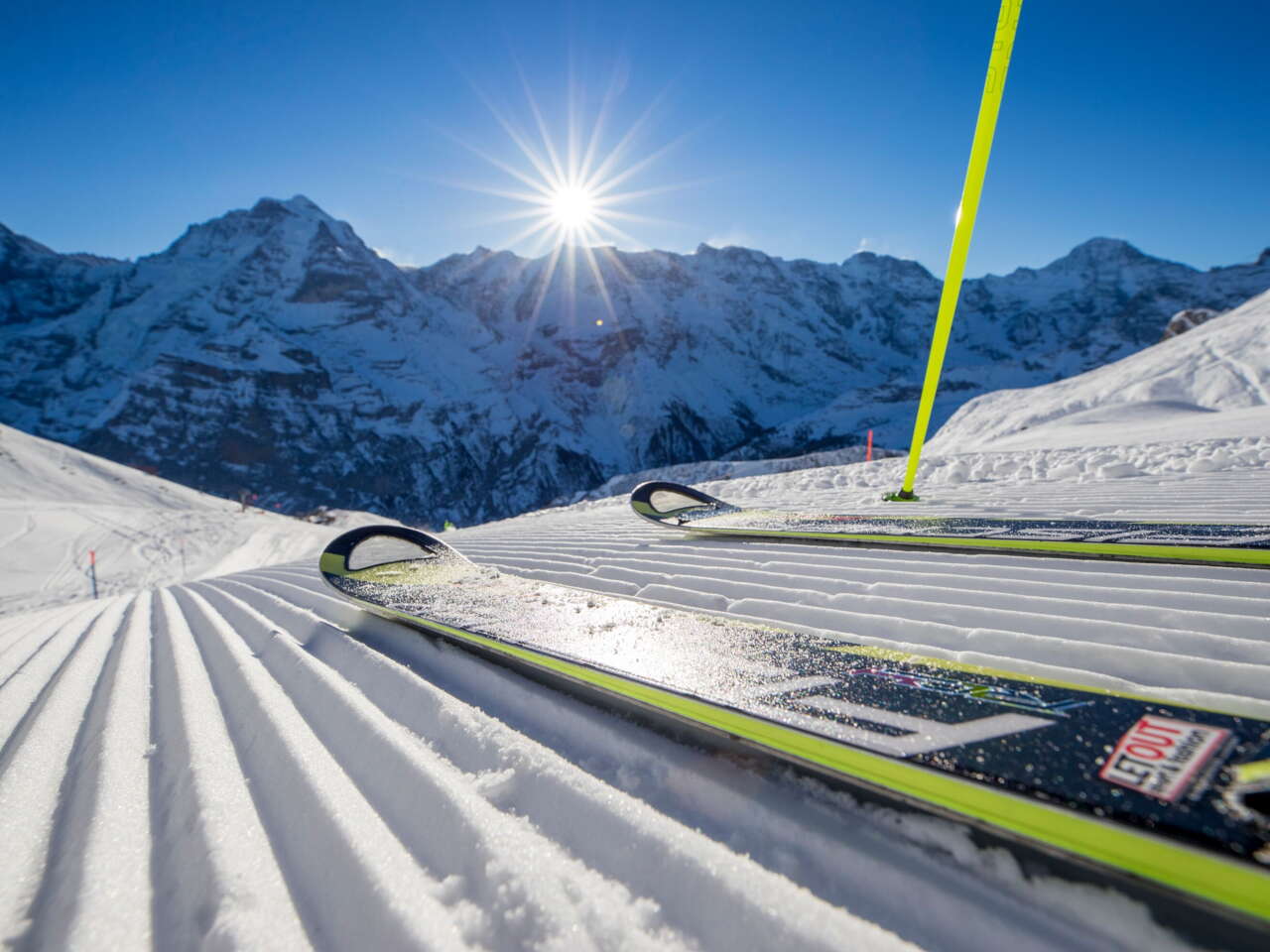
Ski slopes, sledging runs and hiking trails
This is where you’ll find all the winter maps of the Jungfrau Region, from the Direttissima in the Mürren-Schilthorn skiing area to the steepest slope in the Jungfrau Region, the infamous Lauberhorn descent. From Big Pintenfritz, the longest sledging run in the world, to the Bob Run and the Apollo Run. From Grütschalp to Mürren or from Männlichen to Kleine Scheidegg. Whether you are skiing, snowboarding or sledging, trail running or hiking, it’s all right here.


LOCAL MAPS
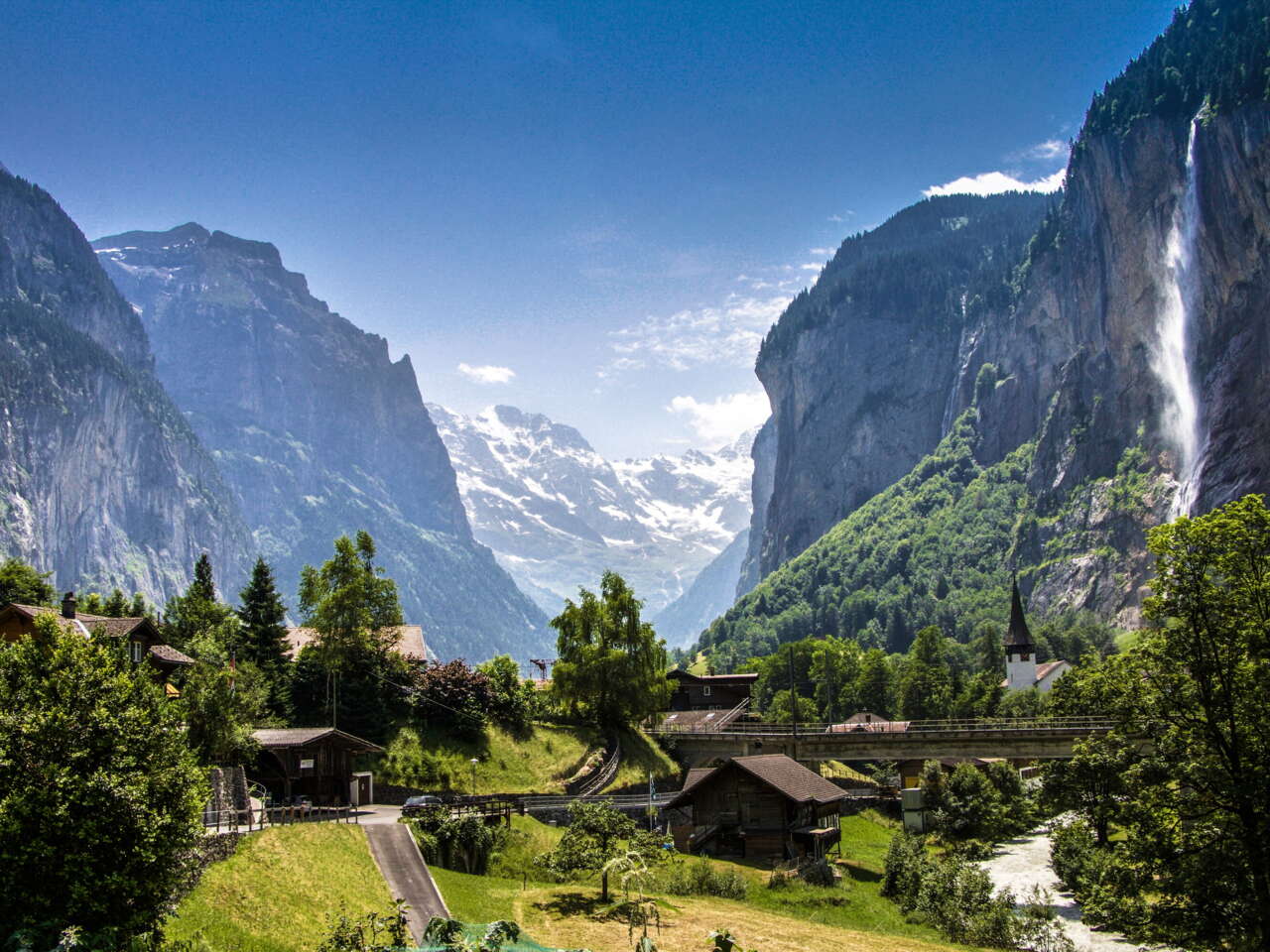
From Grindelwald to Wengen
Need to know where the tourist office, railway station or nearest pharmacy is? Whether you’re in the Haslital region, or the villages of Grindelwald, Wengen, Mürren, Lauterbrunnen or Gimmelwald, the Jungfrau Region’s local maps will help you answer all these questions and more.