This is where you’ll find all the summer maps of the Jungfrau Region, from the Eiger Loop to the Grütsch Trail, from the Horizon Trail to the Panorama Trail, from the Eiger Ultra Trail to the Gemsen trophy course. Whether you’re on a mountain bike or a road bike, running or hiking, it’s all right here. You can also find information about which routes and railways are currently open here. Which could be good to know at some point to get from one place to another the easiest way.
Hiking routes
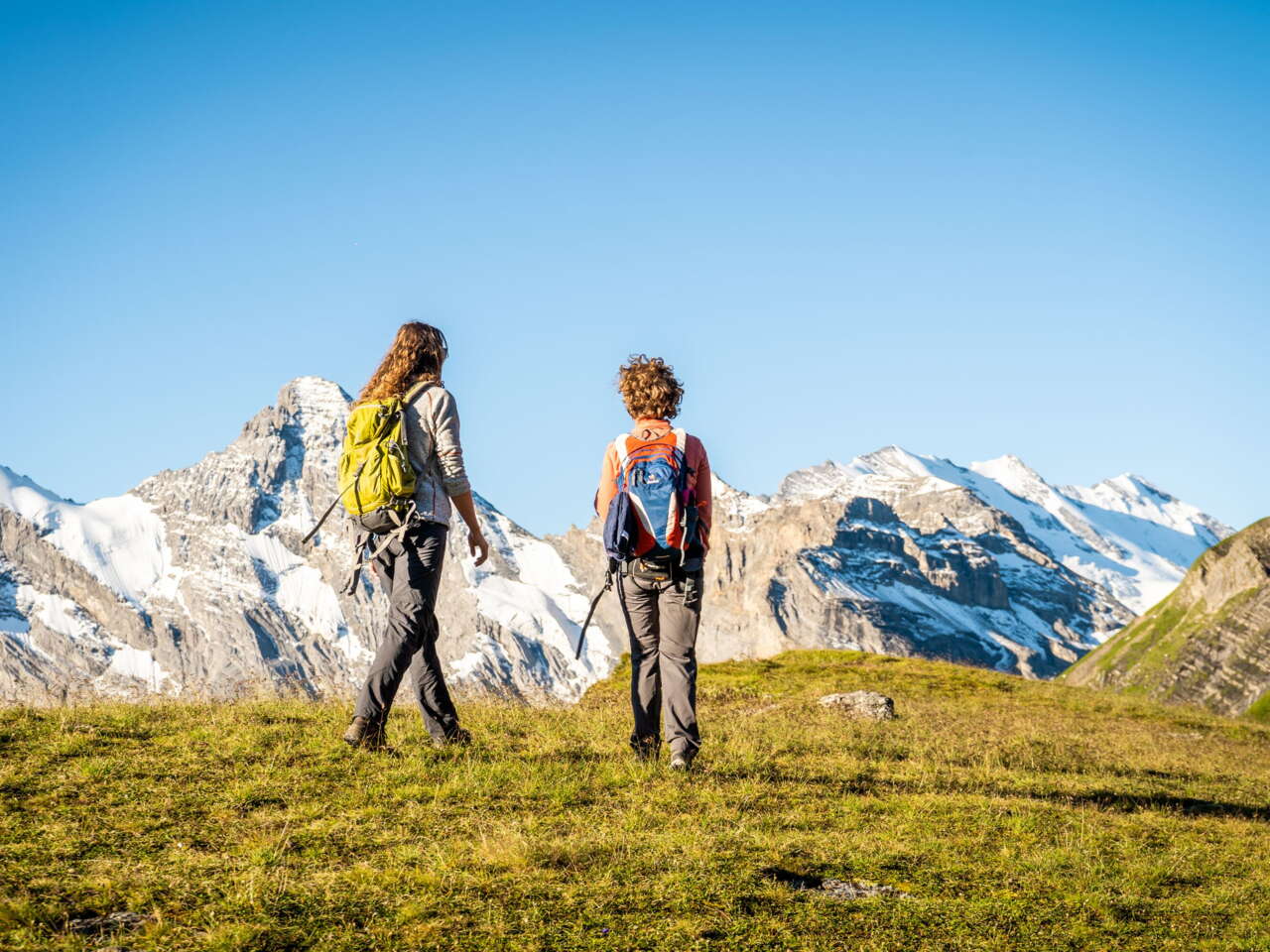
A long hike or a leisurely stroll
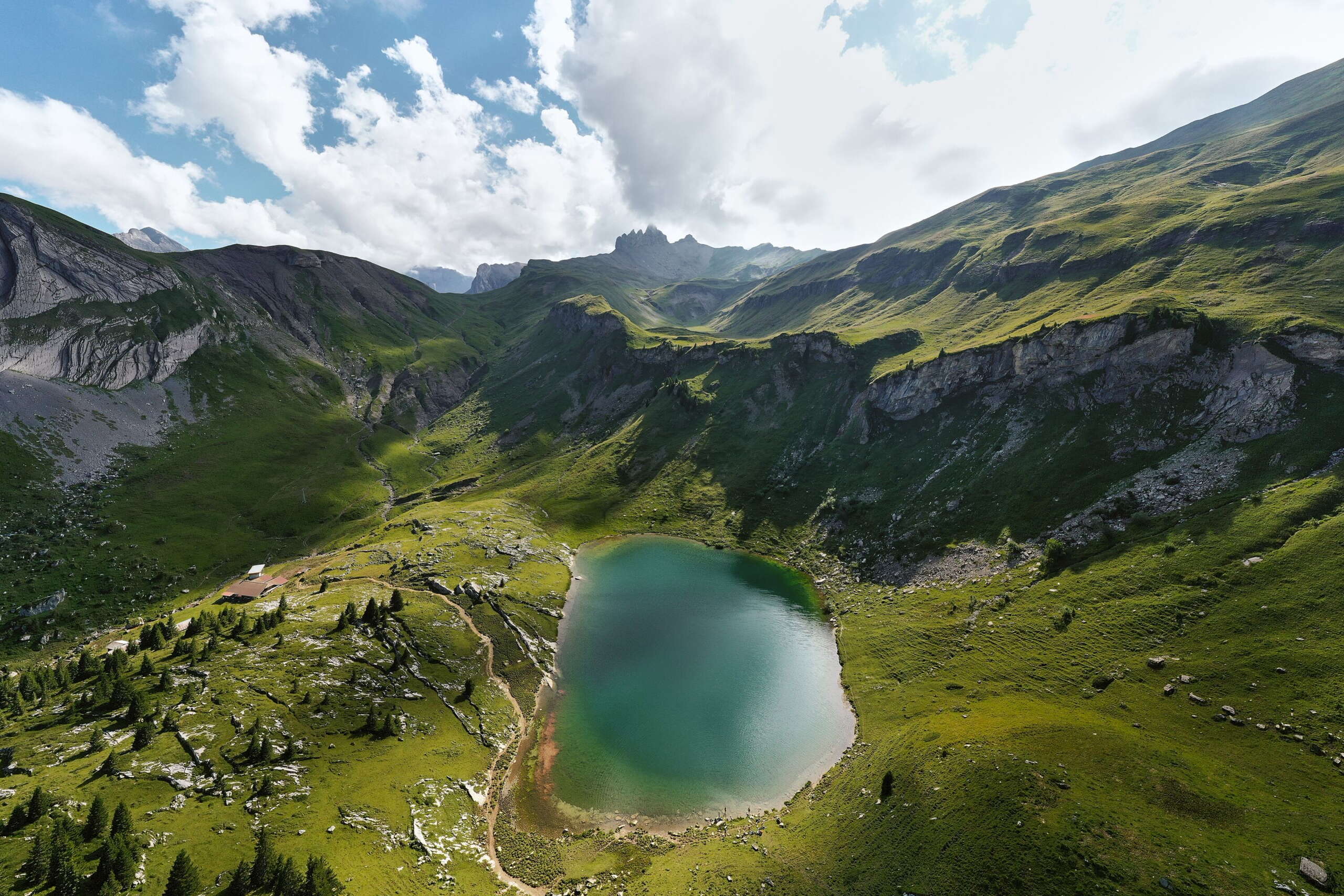
Deep blue mountain lakes, lush green Alpine meadows, white mountain peaks – unrivalled scenery. Every walk, every hike, every themed trail in the Jungfrau Region is an unforgettable experience.
CYCLING AND MOUNTAIN BIKING TOURS
Get out and about on two wheels!
Grab a mountain bike, e-bike or road bike and start exploring the spectacular mountain landscape of the Jungfrau Region.
Trail running
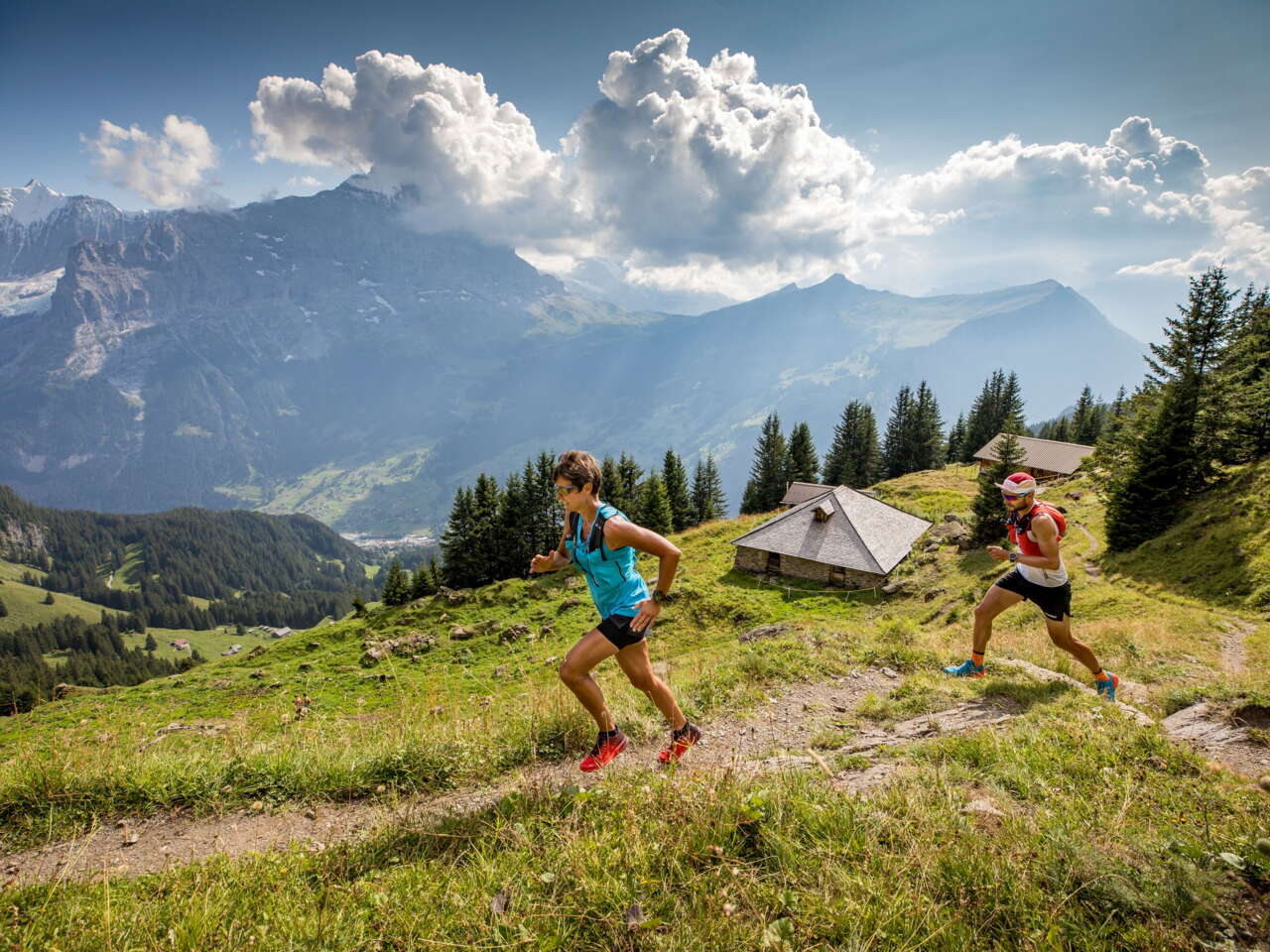
Run the mountain trails
With so many trails to choose from, the Jungfrau Region is a trail runner’s paradise.
STATUS OF FACILITIES
Is my route open or closed?
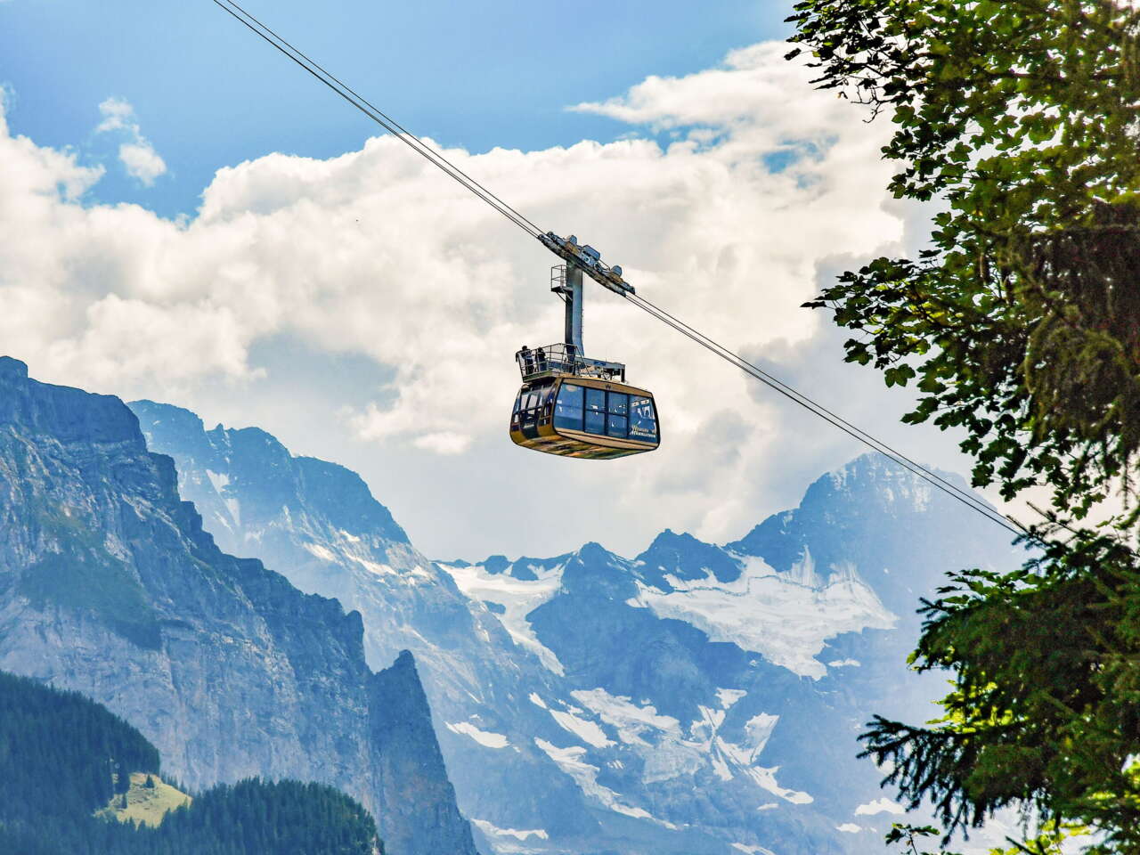
One question people often ask in spring and late autumn especially is whether hiking trails, mountain biking routes, trail running routes or mountain railways are open yet or if they are still open. But even during the summer season, unforeseen circumstances can cause a route or railway to close. Our overview maps will always keep you up to date.


