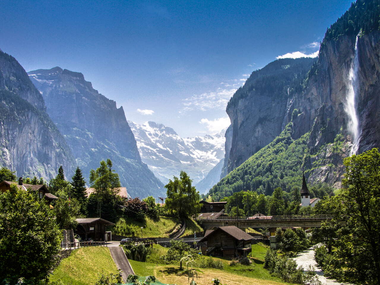
Enjoy the sunset after a strenuous hike. Be close to the stars at night. Wake up with the first rays of sunshine in the morning. The SAC huts in the Jungfrau Region make it possible. Discover the unique diversity of the Jungfrau Region on hikes lasting several hours.
Important: Many of the huts mentioned in this blogbuster require a very good level of fitness and experience of high-altitude hiking to reach them safely. It is very important to know and correctly assess your own limits and abilities.
High, higher, Mönchsjochhütte
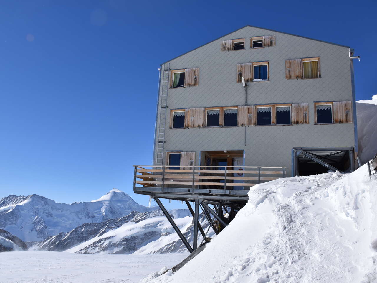
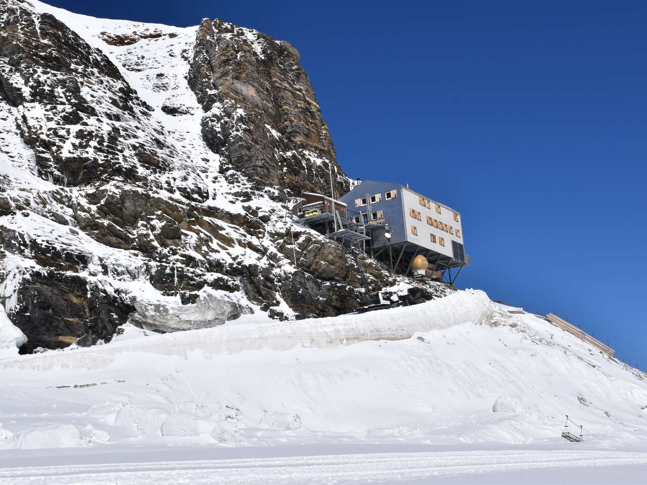
The Bergli hut was built in 1869 as the first hut in the Jungfrau Region ‘behind’ the Eiger. It is located at 3299 metres above sea level – making it one of the highest SAC huts in the Jungfrau Region. The Mönchsjoch hut is even higher, at 3657 metres above sea level. It is not only the highest SAC hut in the Jungfrau Region, but in the whole of Switzerland. And it is an ideal starting point for high-altitude hikes to other SAC huts – or for a visit to the Jungfraujoch, which you can reach on foot from the Mönchsjochhütte in just 45 minutes.
What a view!
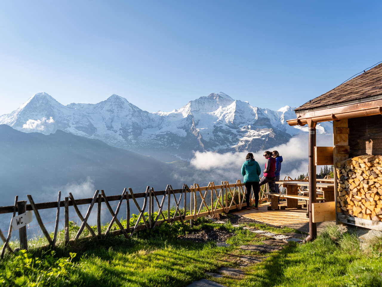
From the Silberhornhütte, you can enjoy a fantastic view over the Lauterbrunnen Valley – and marvel at the Jungfrau up close. Nevertheless, it is the Lobhornhütte that is known as the hut with the best view of the Eiger, Mönch and Jungfrau. And rightly so, because you can even marvel at the triumvirate from the toilet. And compared to the Silberhornhütte, the Lobhornhütte is also a lot easier to reach.
The exertions are worth it
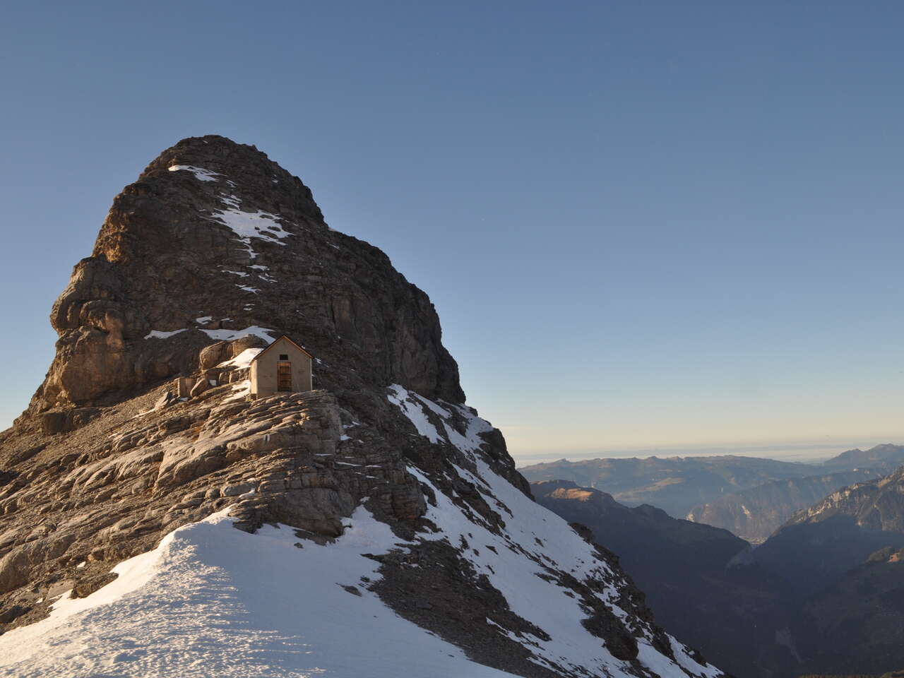
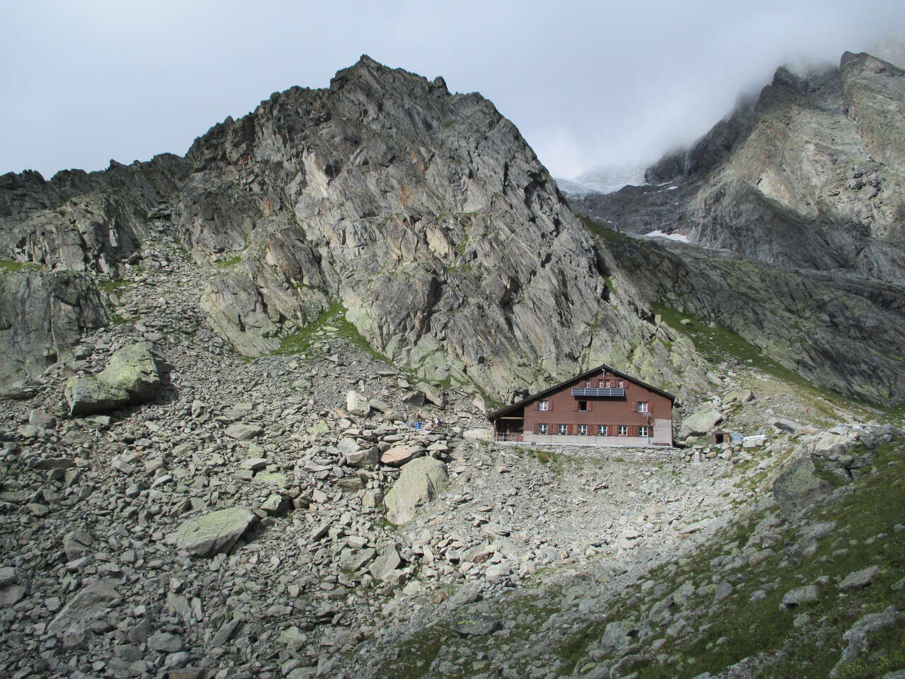
The Schreckhornhütte and Glecksteinhütte can only be reached with some effort and via a difficult path, but the hike to the Silberhornhütte is even more challenging and only suitable for experienced mountaineers. Nevertheless, the ascent to all three huts is worth it, as you will be rewarded with a fantastic view. The ascent to Glecksteinhütte is not described as one of the most imposing and impressive mountain trails for nothing.
Along the Via Berna
The Via Berna is a 20-stage hiking trail through the scenic countryside of the Canton of Bern, from Bellelay in the Bernese Jura through the Mittelland to the Susten Pass in the Bernese Oberland. The last seven stages of the 300-kilometre hiking trail are located entirely in the Jungfrau Region.
Tip: Starting on the Schynige Platte, you will arrive at the Susten Pass five wonderful hiking days later, experiencing the highlights of the Jungfrau Region along the way. And all without a single piece of luggage. Book our Via Berna hiking package now.
Long, longer, Via Alpina
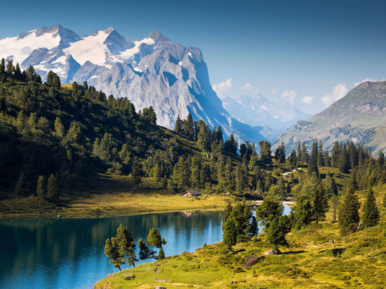
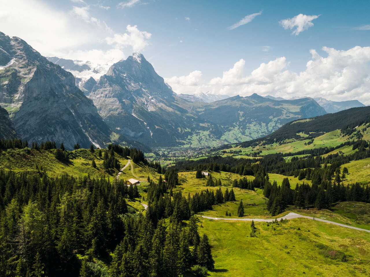
116 stages, 2000 kilometres, 8 countries: on the Via Alpina you can hike from the Adriatic Sea over countless peaks to the Mediterranean. And of course the longest long-distance hiking trail also leads right through the Jungfrau Region. To the beautiful Engstlenalp in the Haslital, to the alpine village of Grindelwald, via Wengen to Lauterbrunnen, to the valley of 72 waterfalls and to Mürren. A true natural spectacle.
Have we whetted your appetite for a multi-day hike?


